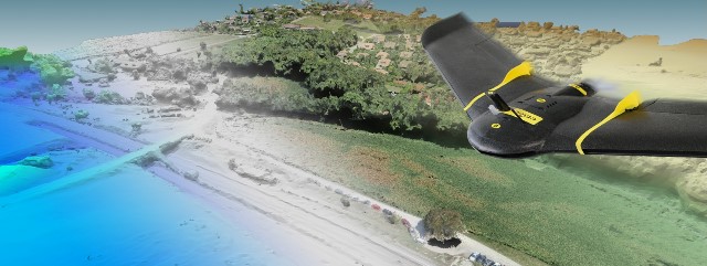
GREAT BAY, Sint Maarten (DCOMM) – Ministry of Public Housing, Spatial Planning, Environment, and Infrastructure (Ministry VROMI), hereby informs residents and businesses that the Government in collaboration with the World Bank will be conducting aerial and street-view image surveys of the entire country.
The main objective of this project is to conduct a Housing Assessment.
The survey will start in the week of Monday, April 15th for a period of three weeks.

These surveys will take place during the hours of 8am to 5pm under the coordination of Ministry VROMI and the Sint Maarten Civil Aviation, Shipping and Maritime Affairs Authority.
Residents are advised not to be alarmed by the presence of a vehicle mounted with a 360° camera driving along the public roadways as well as drone landings and take-offs in open areas throughout the country.
The Ministry of VROMI seeks the cooperation of all residents and businesses during this important data collection survey.


